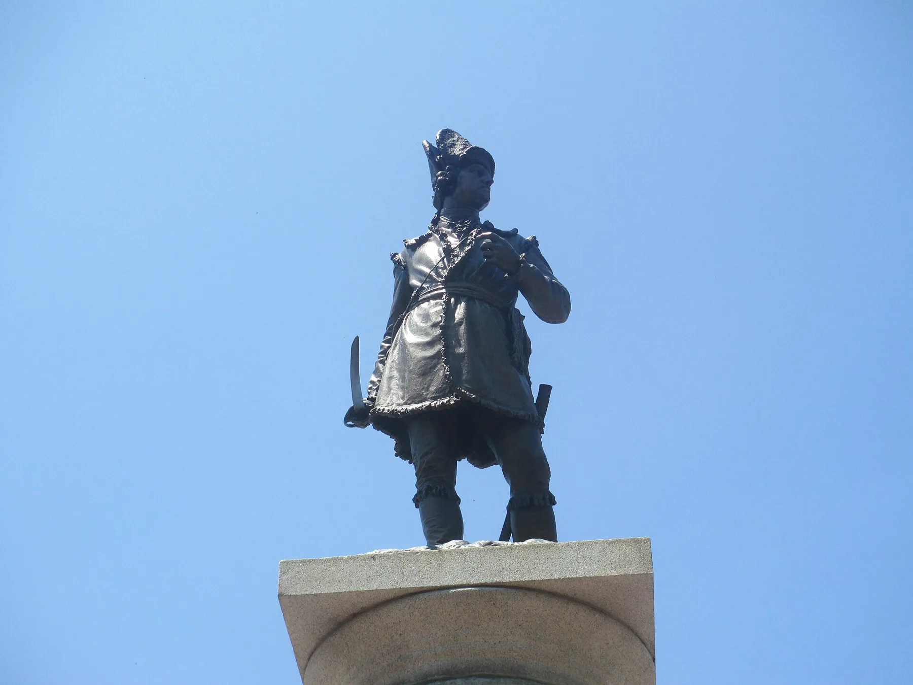
Downtown Spartanburg spans ZIP codes 29306 and 29302 and is zoned for Spartanburg High. Every SPARTA bus route meets at the Passenger Center on Liberty Street.
Last checked Oct. 12, 2026. Sources: the City of Spartanburg’s GIS downtown footprint and 2023 Comprehensive Plan (PDF), Spartanburg County address points, Spartanburg School District 7’s attendance zones, the state’s 2025 school report cards, Zillow Research and OpenStreetMap.
Downtown is the old commercial center of Spartanburg around Morgan Square, with apartments and townhomes among the offices, restaurants and garages, and older houses at its edges. The city’s 2023 Comprehensive Plan calls downtown “a remarkable example of redevelopment” that “remains physically accessible to adjacent neighborhoods.”
What this means for you
- Zoned high school: Spartanburg High, for every downtown address. Check yours with District 7’s attendance zone lookup.
- Home value: $194,047 in ZIP 29306 and $266,995 in ZIP 29302 in August 2026, according to the Zillow Home Value Index.
- Nearest interstate exit: I-585 exit 25B, Pine Street.
Part of our Spartanburg neighborhoods guide. For things to do, see our downtown Spartanburg guide.
Where it is
On this page, downtown is the area the city’s GIS maps as its “Downtown Footprint”: Morgan Square, Main Street east and west of it, the St. John Street and Broad Street blocks, the Grain District off South Daniel Morgan Avenue, and Barnet Park. The heart of it is the Spartanburg Historic District, listed on the National Register of Historic Places on May 19, 1983, and enlarged Jan. 28, 2000. The South Carolina Department of Archives and History says it holds about 34 contributing buildings around Morgan Square, most built before 1925.
Of the residential address points inside the footprint in the county’s file, 49% are in ZIP code 29306 and 45% in 29302, with the rest in 29301. All are inside city limits, so the city provides police, fire and trash service.
Schools
Downtown is in Spartanburg School District 7, and every District 7 high school student attends Spartanburg High, the district says. The elementary and middle zones split downtown. We matched the 452 residential address points inside the footprint to the district’s zone map. Ratings are the overall ratings on the 2025 state report cards (the 2024-25 school year), on a scale of Excellent, Good, Average, Below Average and Unsatisfactory.
| Level | School | Share of addresses | 2025 rating |
|---|---|---|---|
| High | Spartanburg High | 100% | Average |
| Middle | McCracken Middle | 56% | Good |
| Middle | Carver Middle | 44% | Average |
| Elementary | Drayton Mills Elementary | 52% | Average |
| Elementary | Mary H. Wright Elementary | 30% | Average |
| Elementary | The Cleveland Academy of Leadership | 14% | Good |
| Elementary | Pine Street Elementary | 3% | Good |
The district calls its lookup an unofficial confirmation; the school confirms a zone when you show proof of residence. Meeting Street Academy-Spartanburg, at 201 E. Broad St., is also downtown. More in our schools guide.
Home values
Downtown straddles two ZIP codes. According to the Zillow Home Value Index:
| ZIP | August 2026 | August 2025 | Change |
|---|---|---|---|
| 29306 | $194,047 | $194,517 | Down 0.24% |
| 29302 | $266,995 | $267,563 | Down 0.21% |
| City of Spartanburg | $232,218 | $229,695 | Up 1.10% |
The index is a modeled typical value for the middle third of homes, not a sale price, and each ZIP code reaches well beyond downtown. More in our home prices guide.
Parks and trails
From the city’s facility pages:
- Barnet Park, 248 E. St. John St.: the city’s main outdoor events park, with a splash pad, a walking trail, a picnic pavilion and the Zimmerli Amphitheater.
- Denny’s Plaza Playground, 15 S. Liberty St.
- Hub City Art Park, 209 S. Daniel Morgan Ave.: benches, a water fountain, sculptures and a flower garden on a former vacant lot.
- Morgan Square, the public square at the center of downtown.
The Mary H. Wright Greenway starts just south of the footprint. More in our parks guide.
Getting around
- Interstate: I-585 exit 25B, Pine Street, about 2 miles by road, by the exit numbers in OpenStreetMap.
- Airport: about 19 miles by road to GSP International Airport. Distances are measured on the OpenStreetMap road network with the OSRM routing engine; they are not drive times.
- SPARTA: all eight city bus routes run through downtown and meet at the Passenger Center, 100 N. Liberty St., according to the city’s route list. Buses run Monday through Saturday.
- Parking: city garages are free for the first two hours, after 5 p.m. and on weekends.
More in our getting around guide.
Groceries and everyday stores
OpenStreetMap lists Smith’s Drug Store, 142 E. Main St., inside the footprint. It shows no supermarket inside downtown itself.
How we drew this area
Downtown’s edges here are the city’s own “Downtown Footprint” GIS layer. School shares come from the county’s residential address points inside it, matched to District 7’s zone map on Oct. 12, 2026. Parks and stores are © OpenStreetMap contributors and the city’s facility pages.
Frequently asked questions
Is downtown Spartanburg a good place to live?
Here are the facts. The city’s downtown footprint holds about 450 residential addresses, Barnet Park and Morgan Square, and every SPARTA bus route. It is zoned for Spartanburg High, rated Average on the 2025 state report card, and Zillow put the typical value in ZIP 29306 at $194,047 in August 2026.
What schools are zoned for downtown Spartanburg?
Spartanburg High for every address. Elementary and middle zones split: Drayton Mills Elementary for about half the addresses, Mary H. Wright Elementary for about a third, and McCracken or Carver Middle. Confirm an address with District 7’s zone lookup.
What ZIP code is downtown Spartanburg?
Mostly 29306 and 29302, which split downtown roughly in half in the county’s address file. A few addresses on the west edge are in 29301.
Which interstate exit is closest to downtown Spartanburg?
I-585 exit 25B at Pine Street, about 2 miles by road from the middle of downtown, by the exit numbers in OpenStreetMap.
Have your say